Cycling route from the end of Tai Po Waterfront Park (fishing area) to Wun Yiu
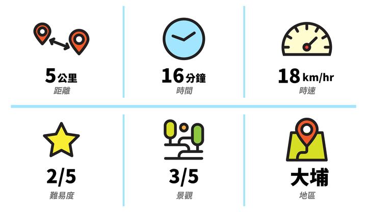
Route: the end of Tai Po Waterfront Park (fishing area) > Tai Po Waterfront Park > Tat Wan Road Public Toilet (Wun Yiu)
The end of Tai Po Waterfront Park
Known as Tai Po's mirror of the sky, after rain it draws a crowd of cyclists, all there to take a good photo of their bikes.
If you pass by and take a photo with a LocoBike, remember to tag us.
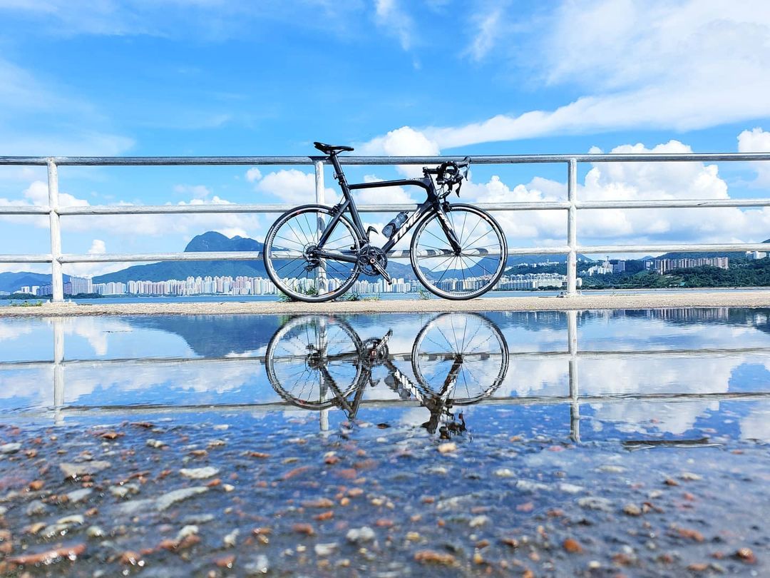
Photo credit:IG@tallchung
Tai Po Waterfront Park
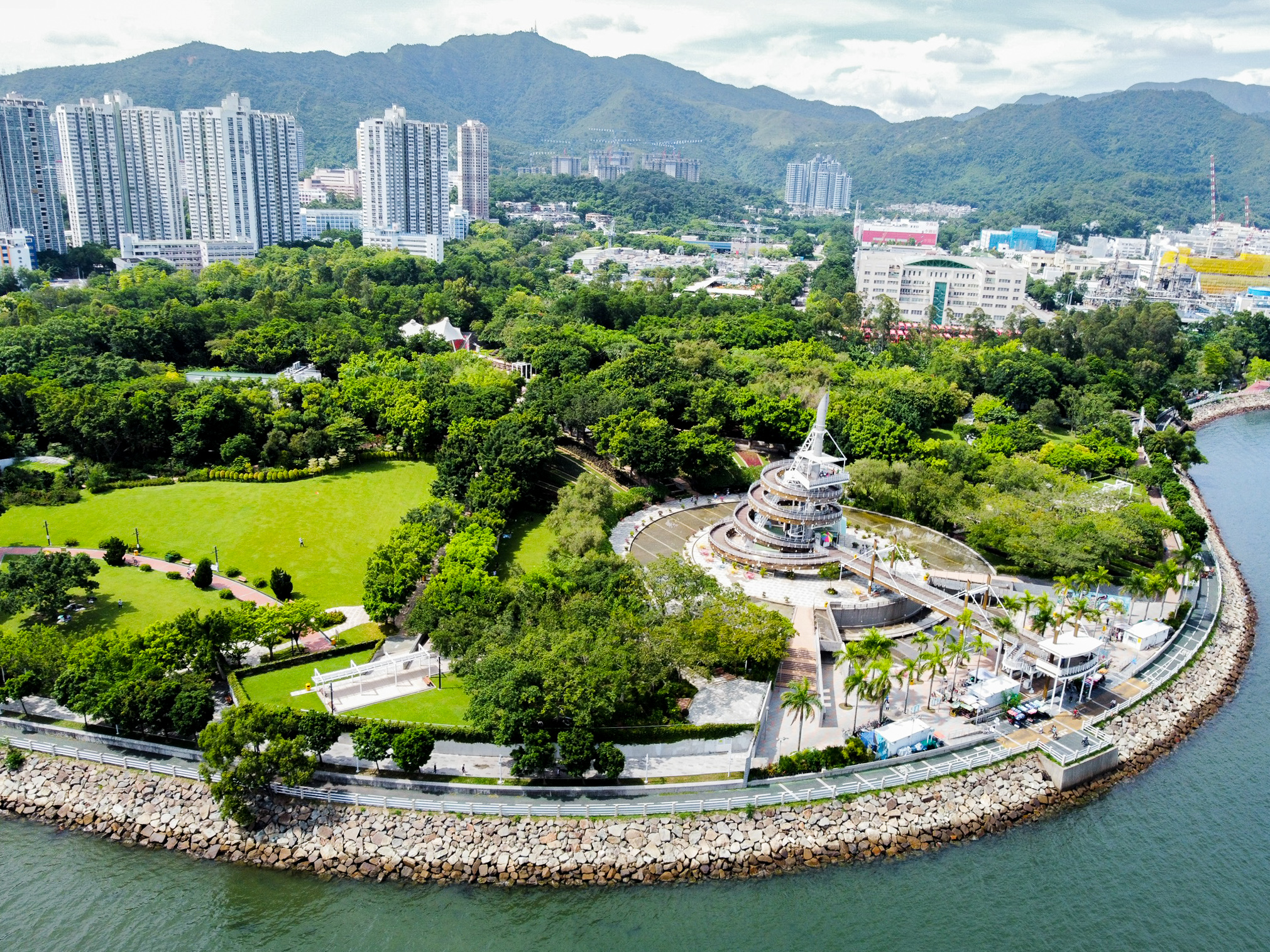
The largest park in Hong Kong by area, with a huge lawn for picnics, kite-flying and letting the children run.
Climb Tai Po Lookout Tower and you can also take in Tolo Harbour and Ma On Shan.
There is also a 1,200-metre waterfront promenade in the park. With Mid-Autumn Festival coming up, come and walk while you watch the moon.
Wun Yiu
Tai Po's Wun Yiu was once the ceramic industry centre of the New Territories. Blue-and-white porcelain was already being made here in the Ming dynasty (1368-1644). As more good, cheap porcelain appeared along the Guangdong coast, production finally stopped in 1932. The kiln site was declared a monument in 1983.
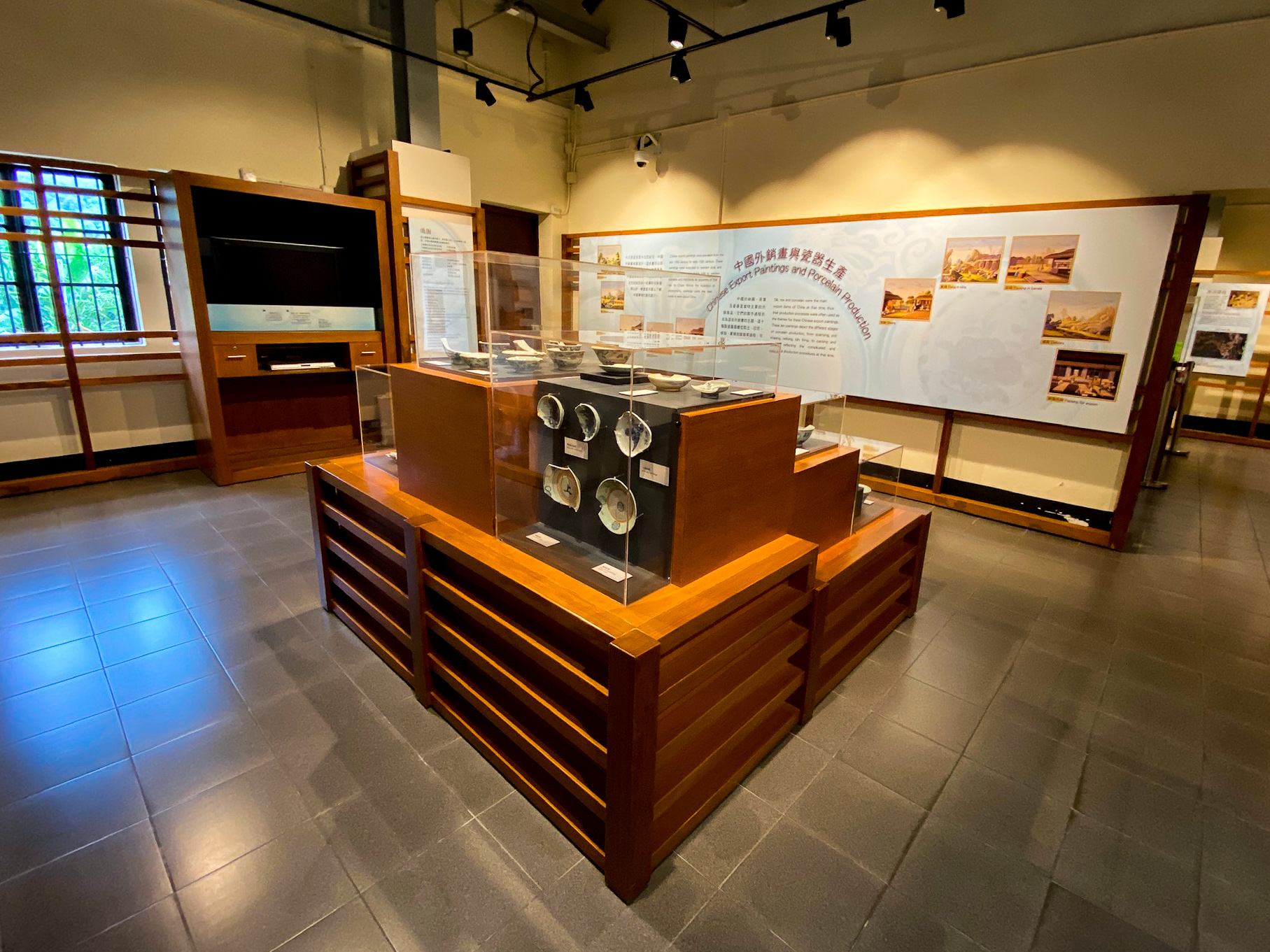
The Wun Yiu Exhibition you see today was converted from a vacant classroom in Sheung Wun Yiu Village. It shows the history of Wun Yiu and the archaeological finds, and it is a 5-7 minute walk from the end of the cycle track.
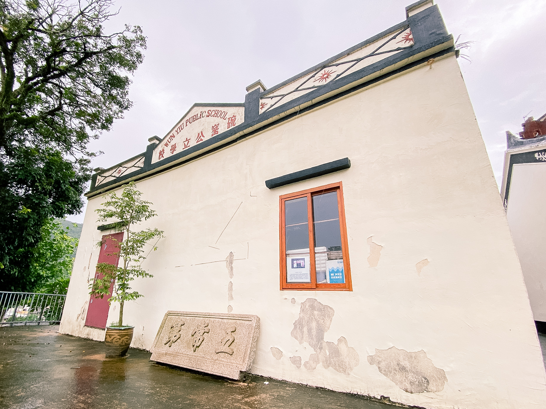
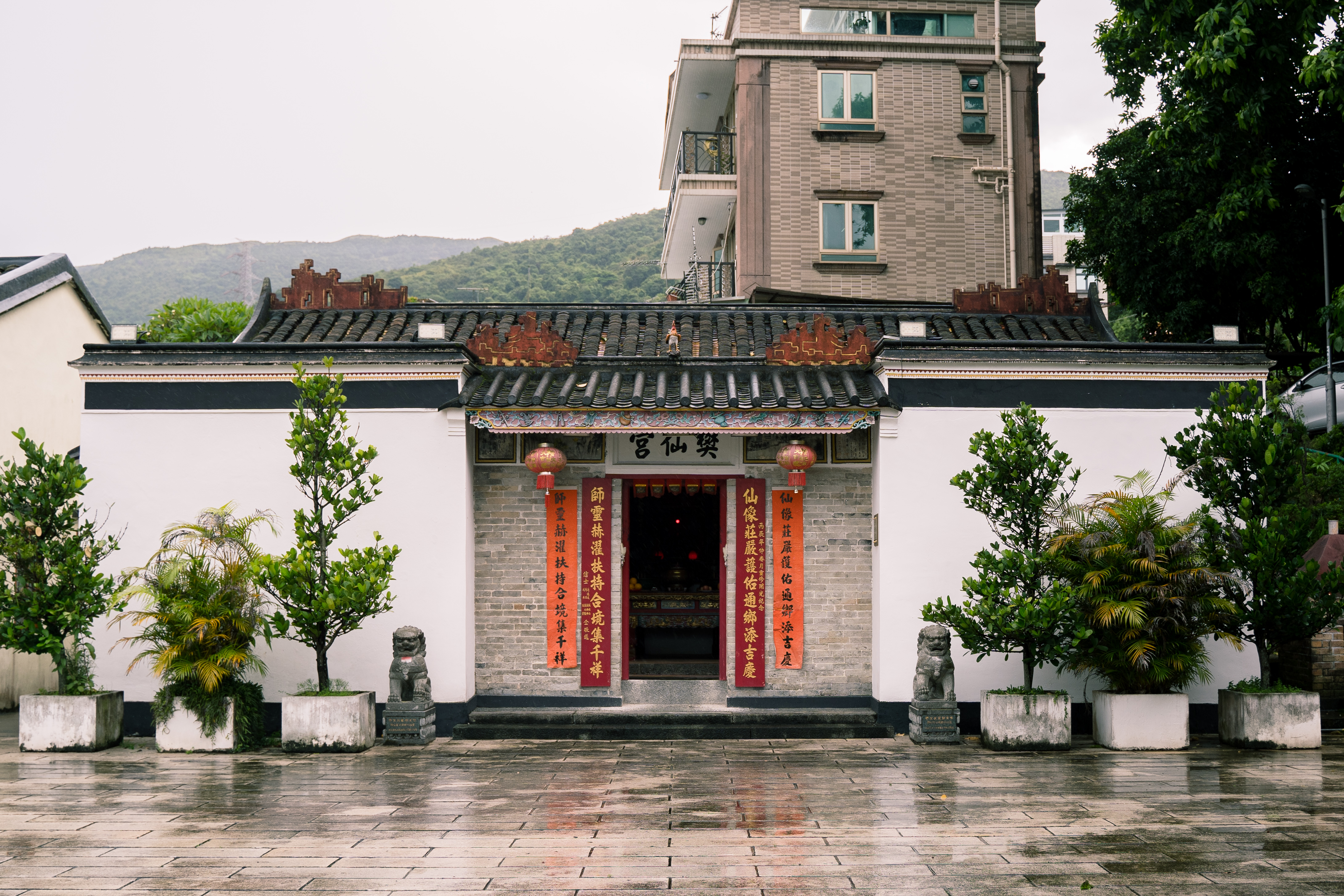
Beside the Wun Yiu Exhibition, Fan Sin Temple is the only temple in Hong Kong dedicated to Fan Sin. A wooden plaque hanging in the main hall, inscribed in the gengxu year of the Qianlong reign of the Qing dynasty, suggests it is more than 200 years old.