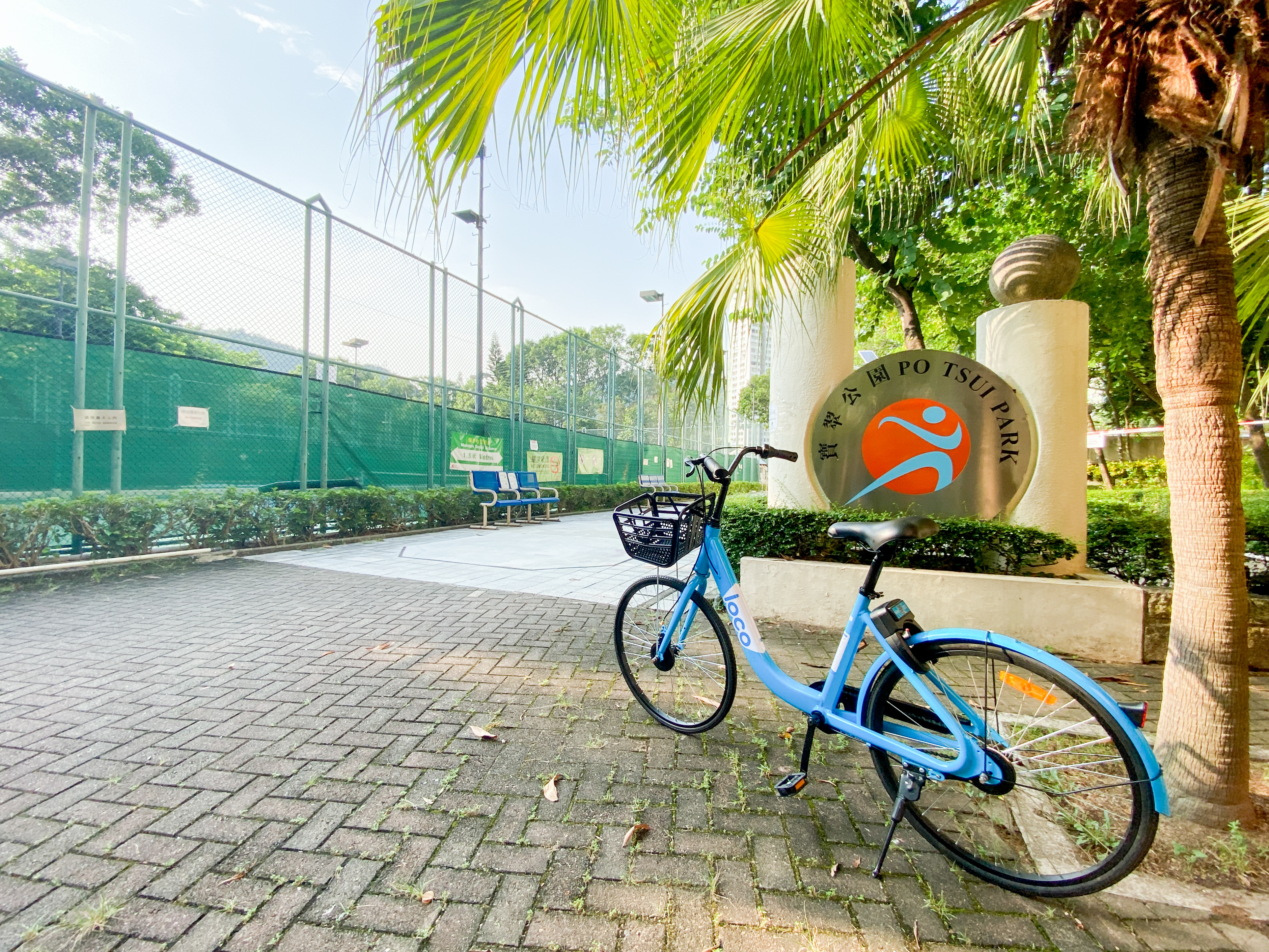
Cycling route from Hang Hau Station to Po Lam Station


Route: Hang Hau Station → Po Lam Road North → Po Tsui Park → Po Lam Station
Ap Tsai Shan
Ap Tsai Shan, also known as Yau Yue Wan Shan, is a popular morning-exercise spot for people nearby. The full walk is about 3.5 km, mostly stone steps, and takes about 1.5 hours.
From the hill you can see Port Shelter, and as far as Kau Sai Chau. Walk on to Maiden's Peak and you can also see HKUST and the Grade I historic Shaw Brothers Studio.
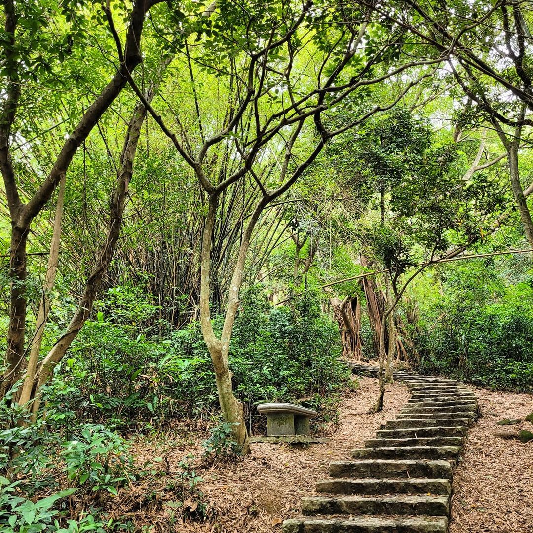
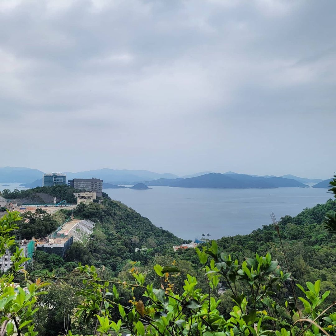
Photo credit: azypauline @ IG
There are quite a few forks along the way. Take care not to lose the path.

Po Tsui Park
Don't feel like hiking? There are other ways to exercise. Keep following the cycle track and you will come to Po Tsui Park, with sitting-out areas, grass pitches, hard courts, a jogging trail and a fitness trail.
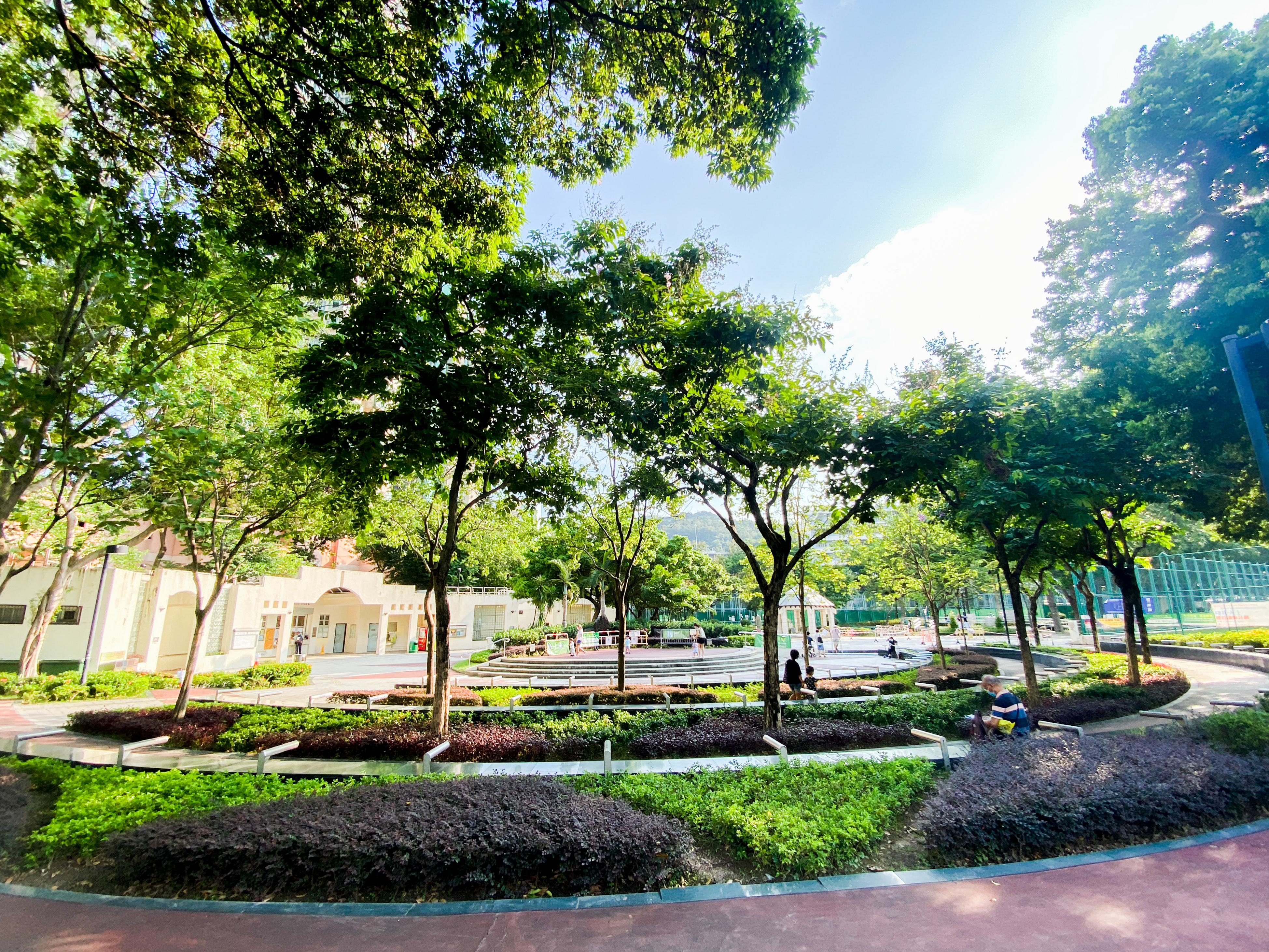
There is bike parking outside the park. Do park properly.